field trips
Ringvassøya, Norway
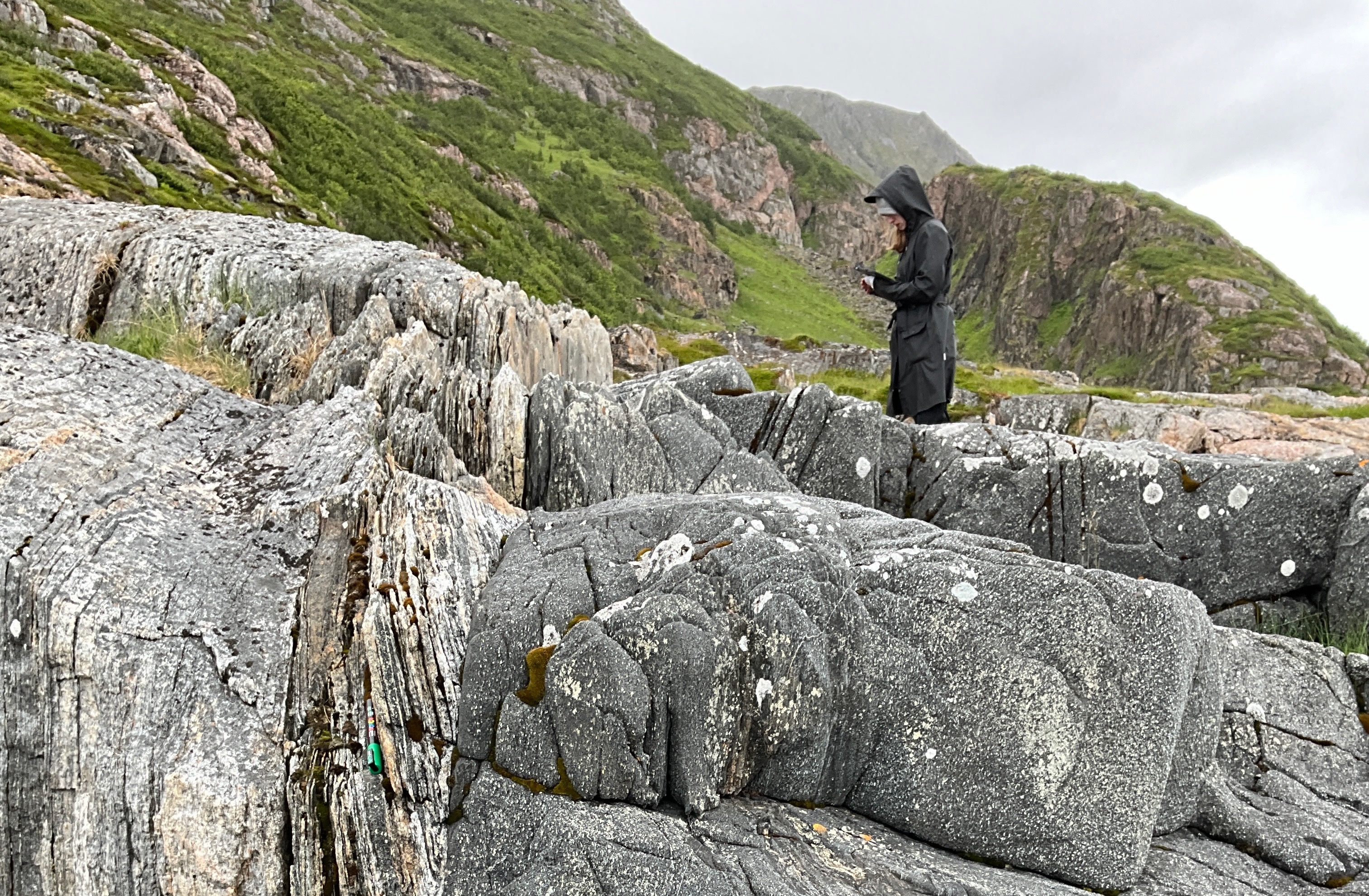
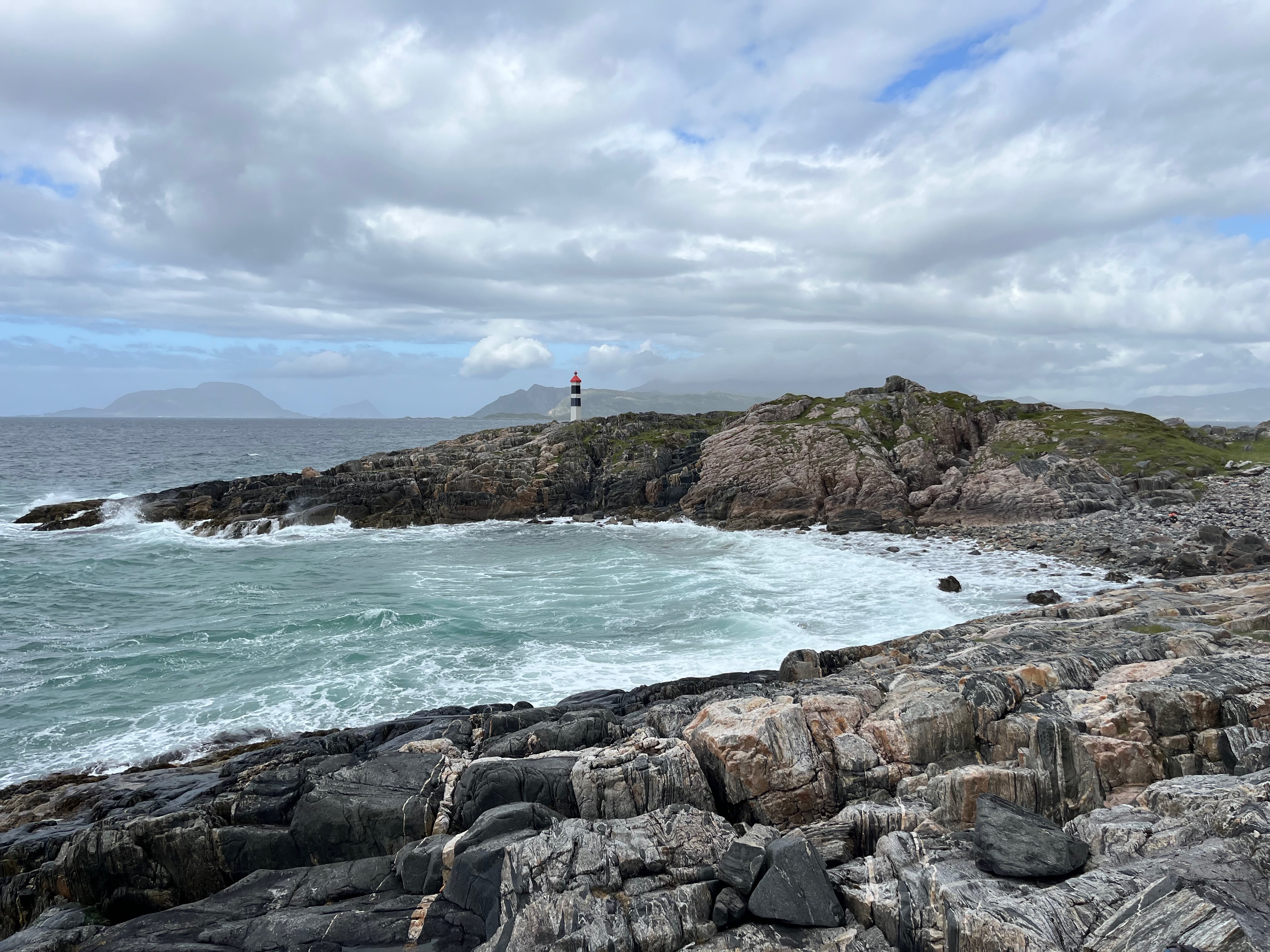
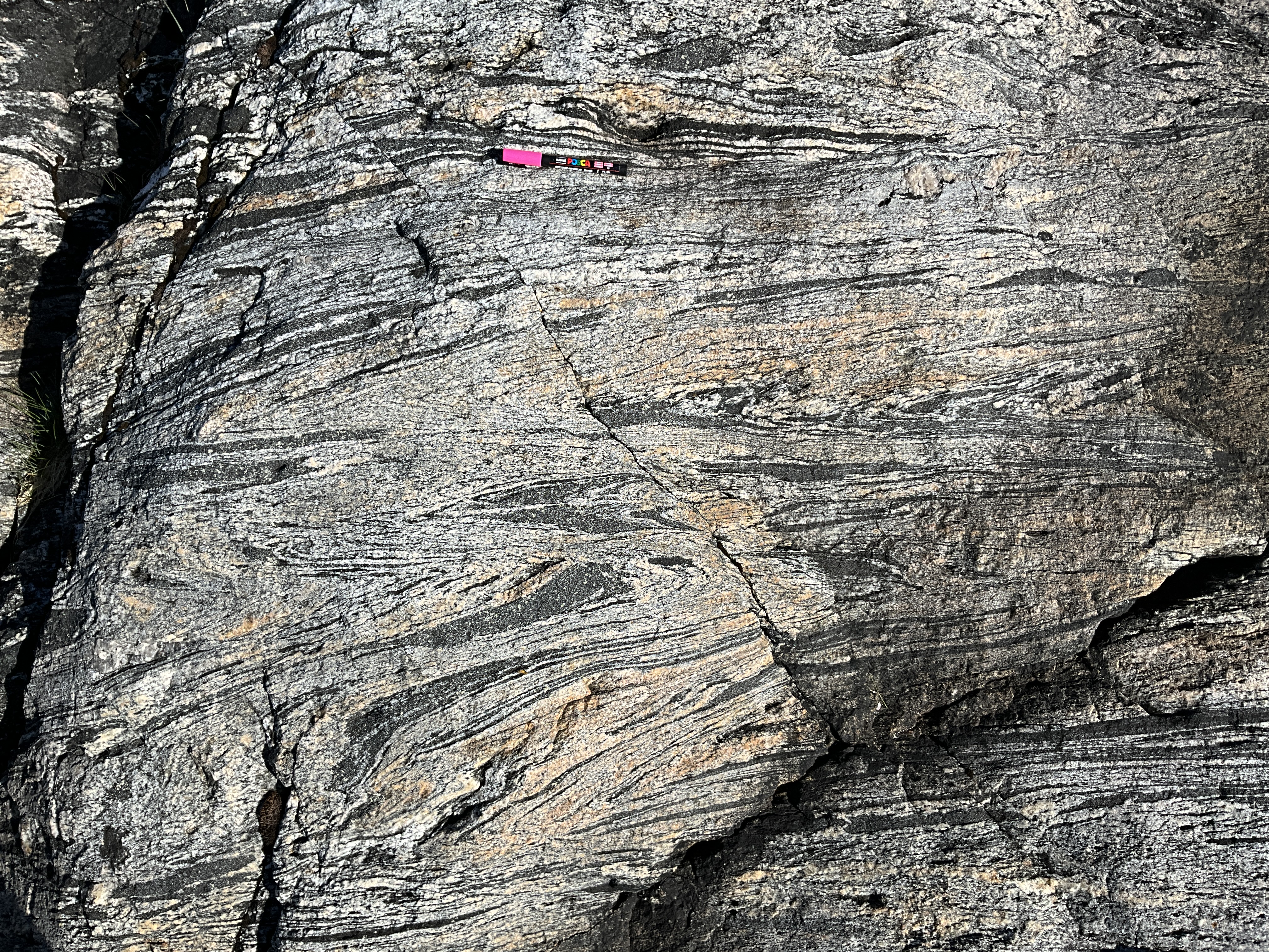
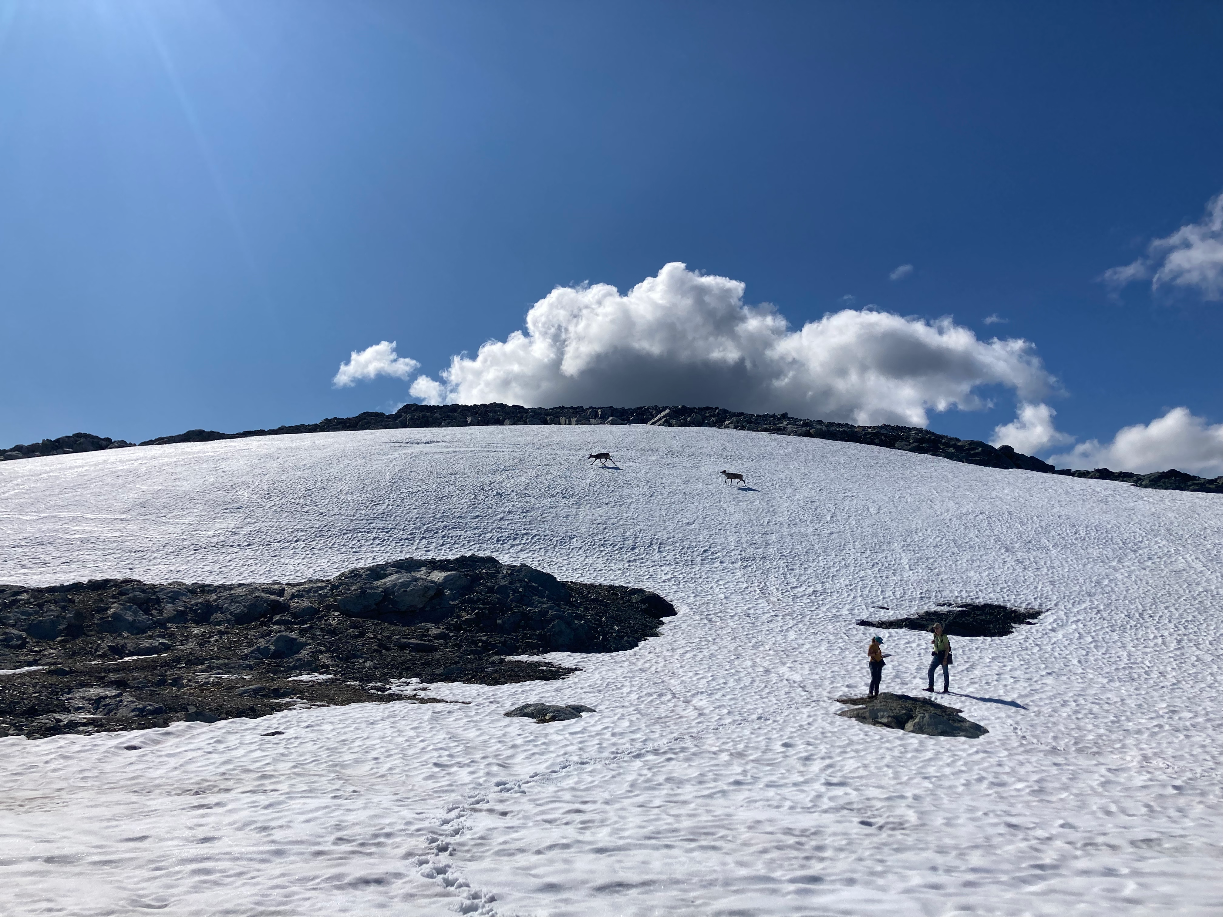
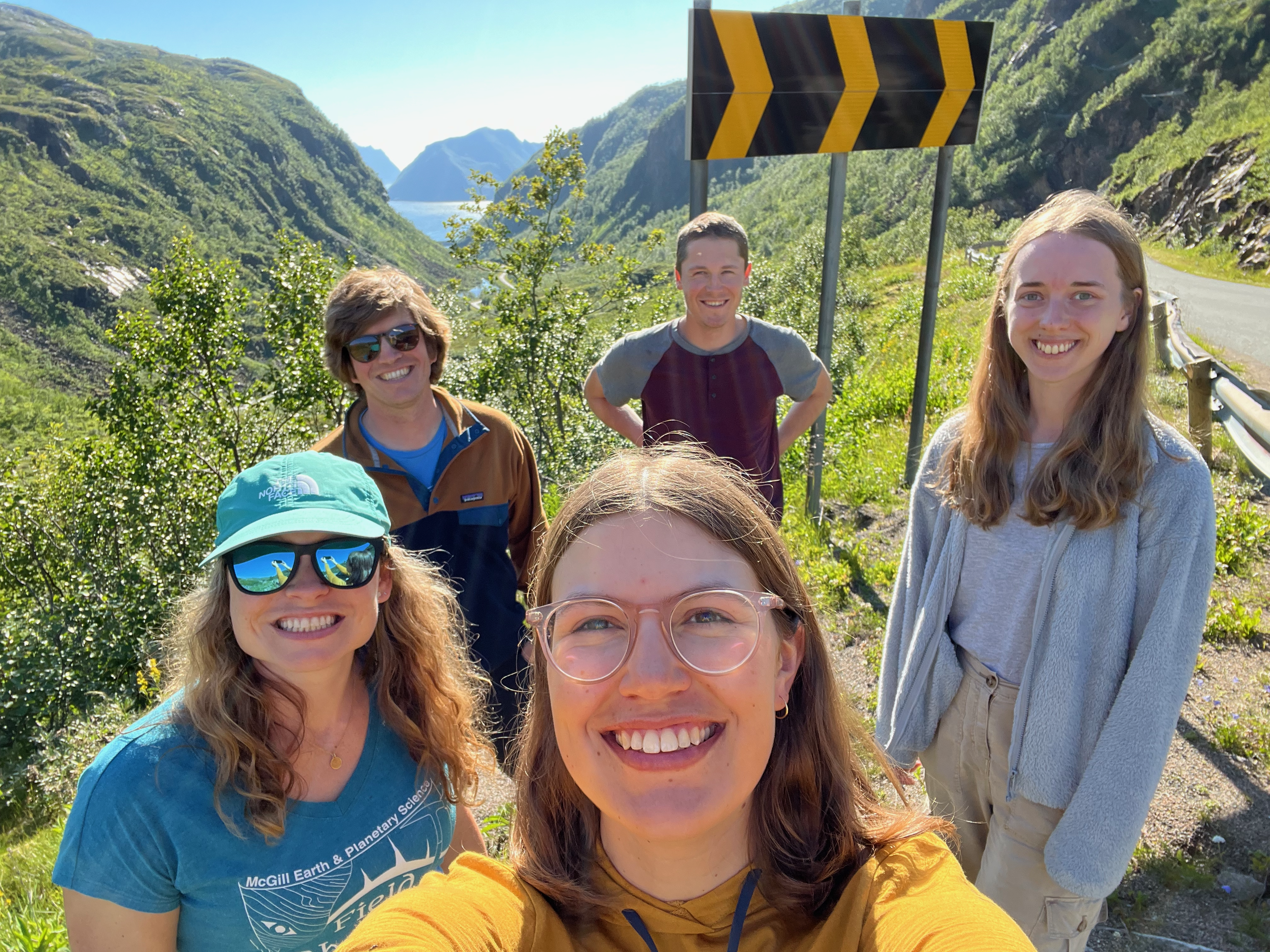
Field area for a collaborative research project with Dr. Carly Faber (University of Tromsø) and Dr. Noah Phillips (USC) studying the rheology of amphibolites in lower crustal shear zones.
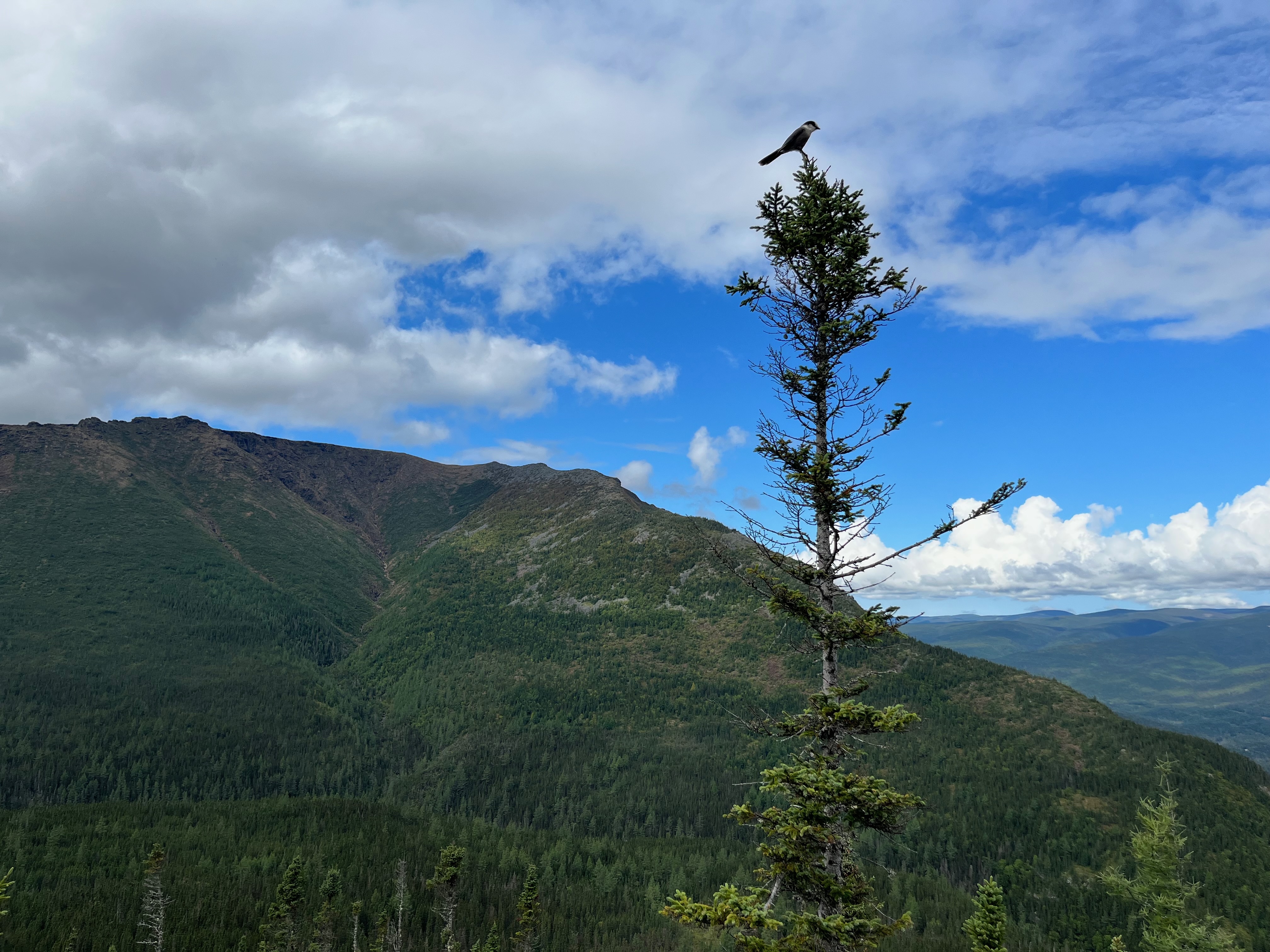
Rainy Lake, Ontario, Canada
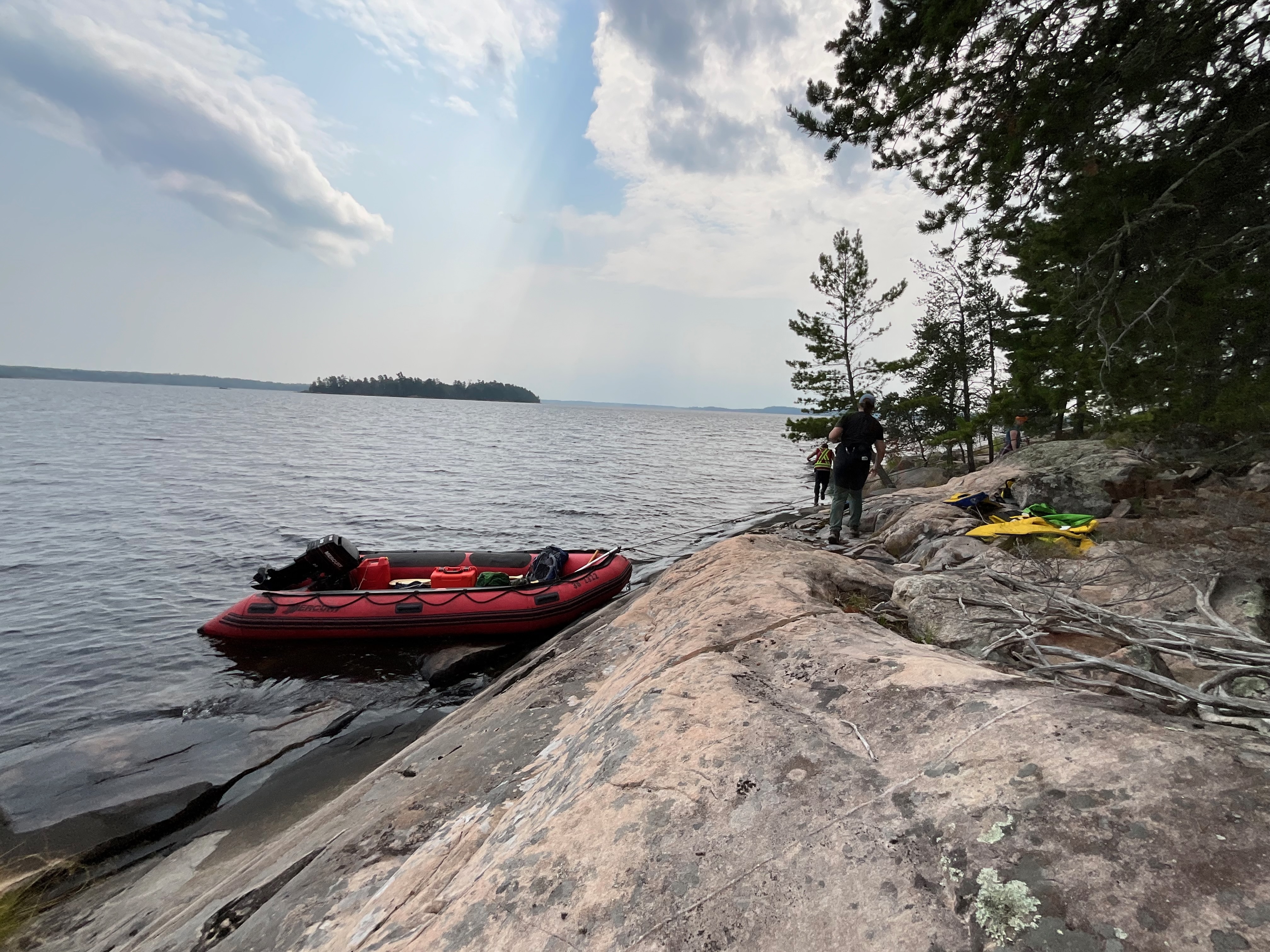
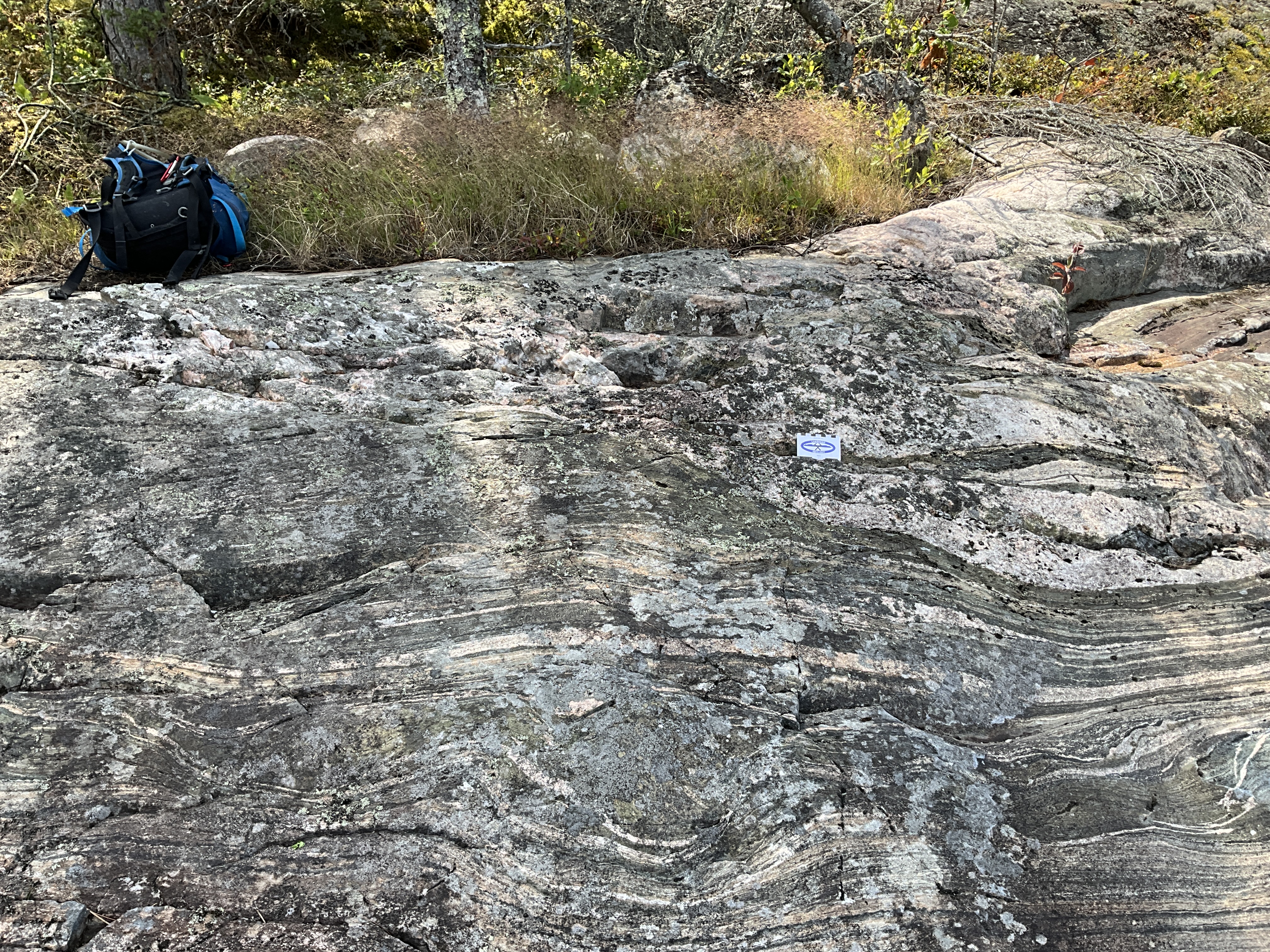
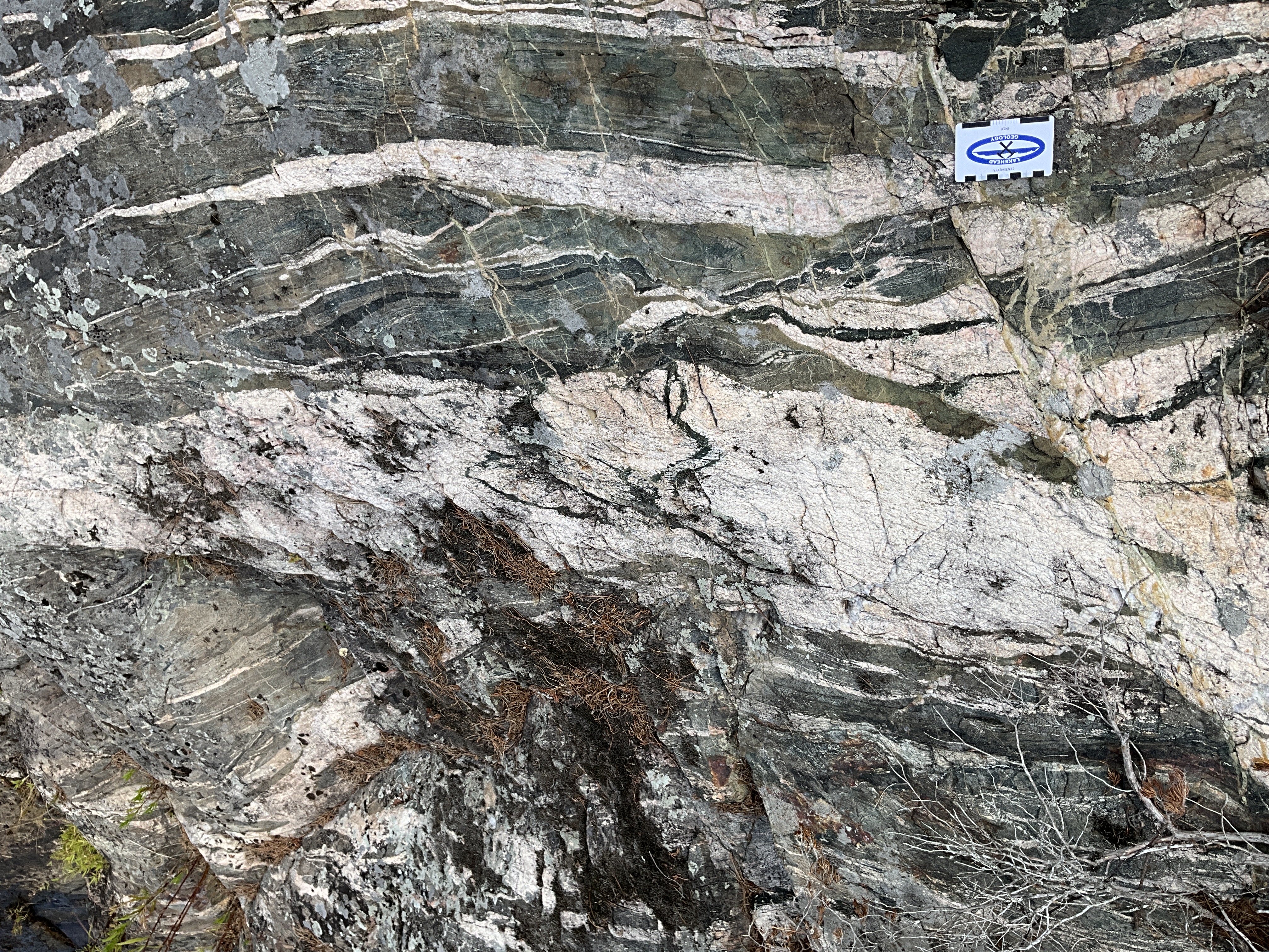
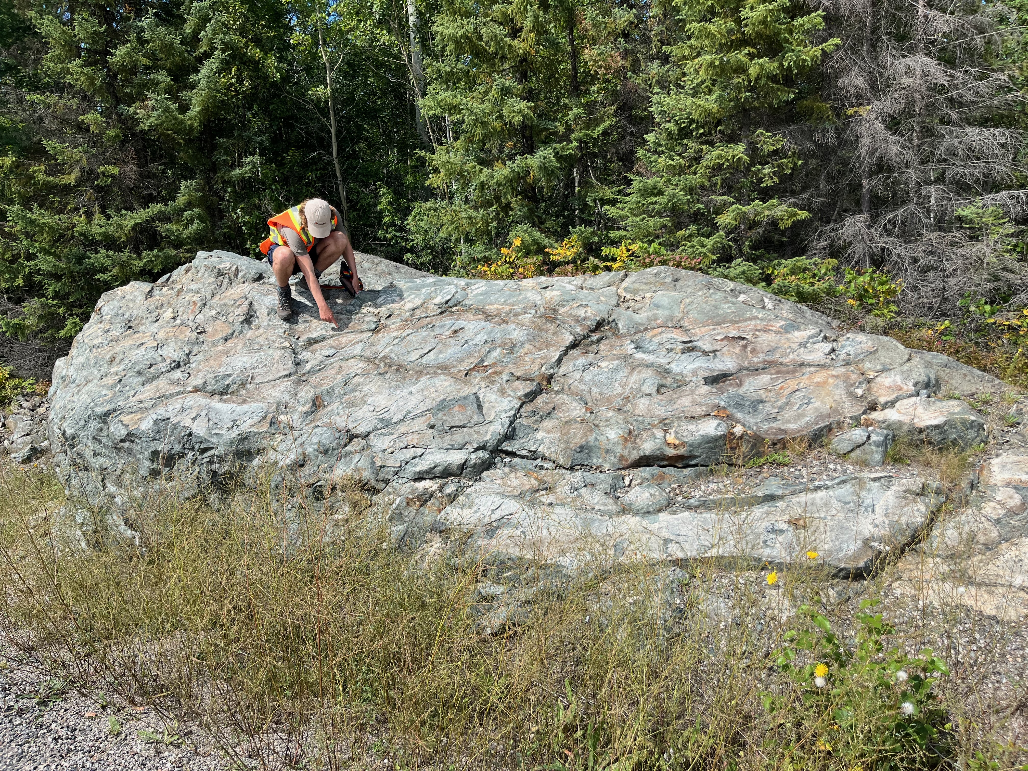
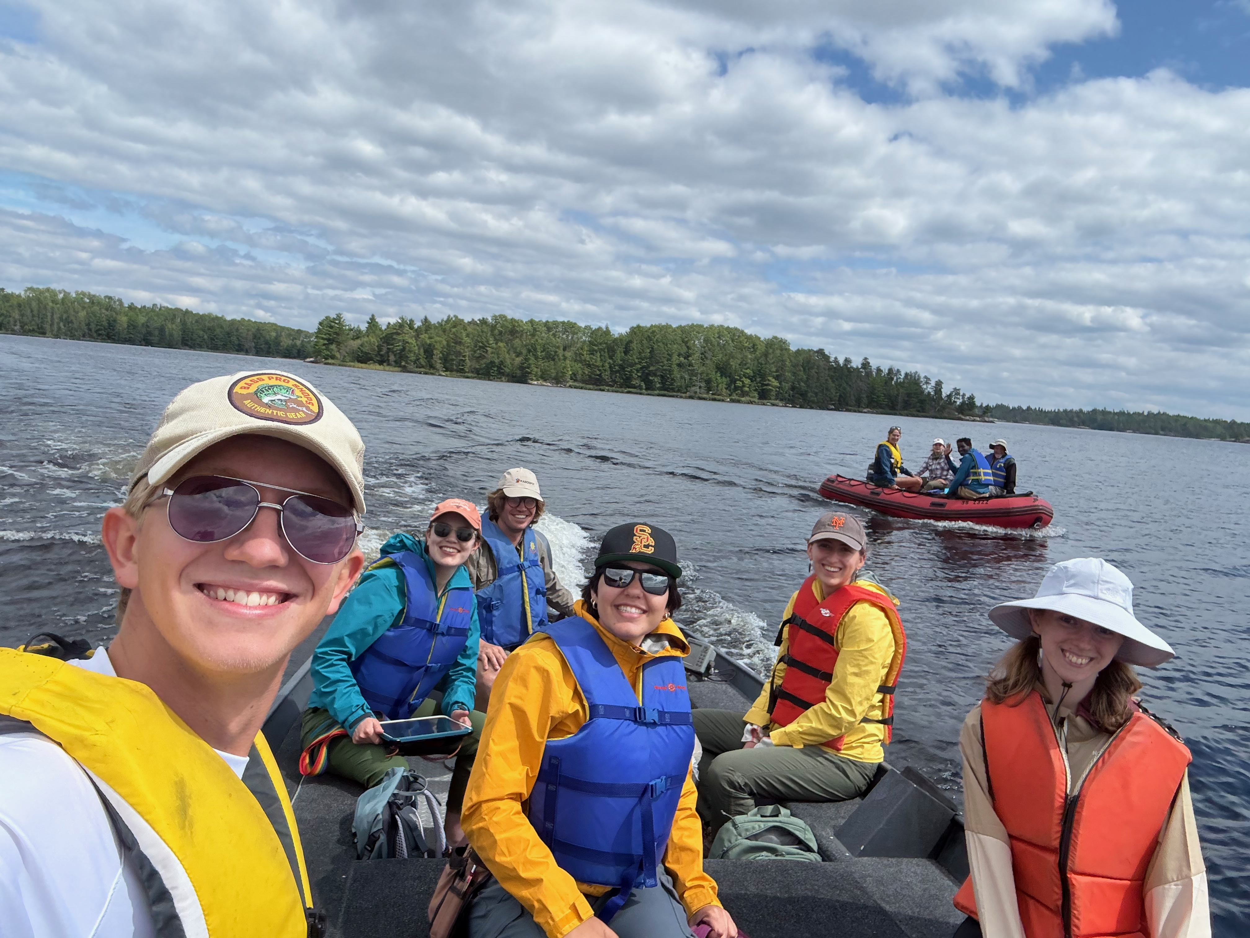
Field area for a collaborative research project with Dr. Noah Phillips (USC) in the Quetico Shear Zone studying the rheology of Archean-age shear zones.
Mont Albert, Quebec, Canada
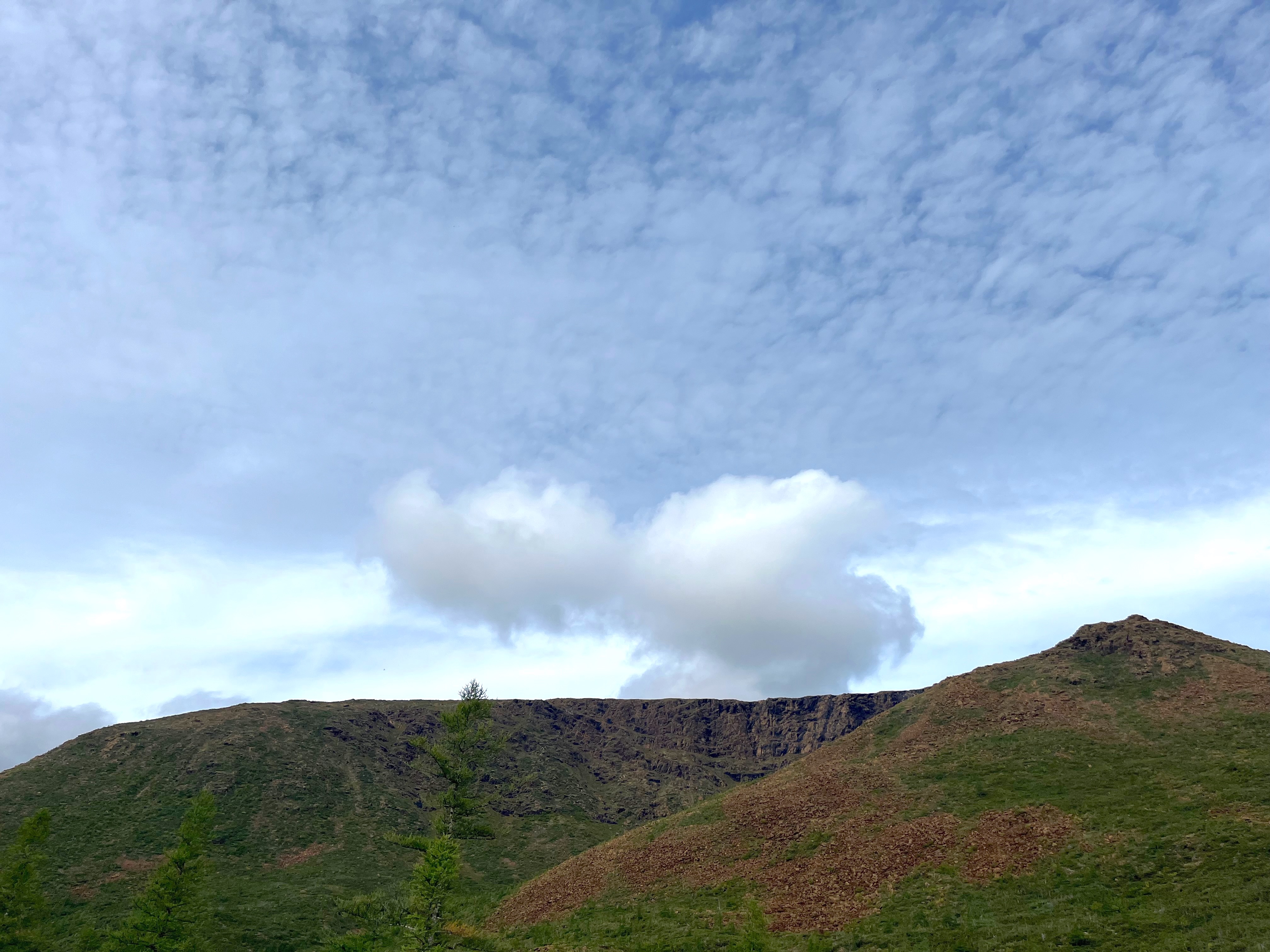
Field area for a collaborative research project with Dr. Alissa Kotowski (Utrecht University) on the Mt. Albert ophiolite studying the dynamics of subduction initiation.
Vancouver Island, British Columbia, Canada
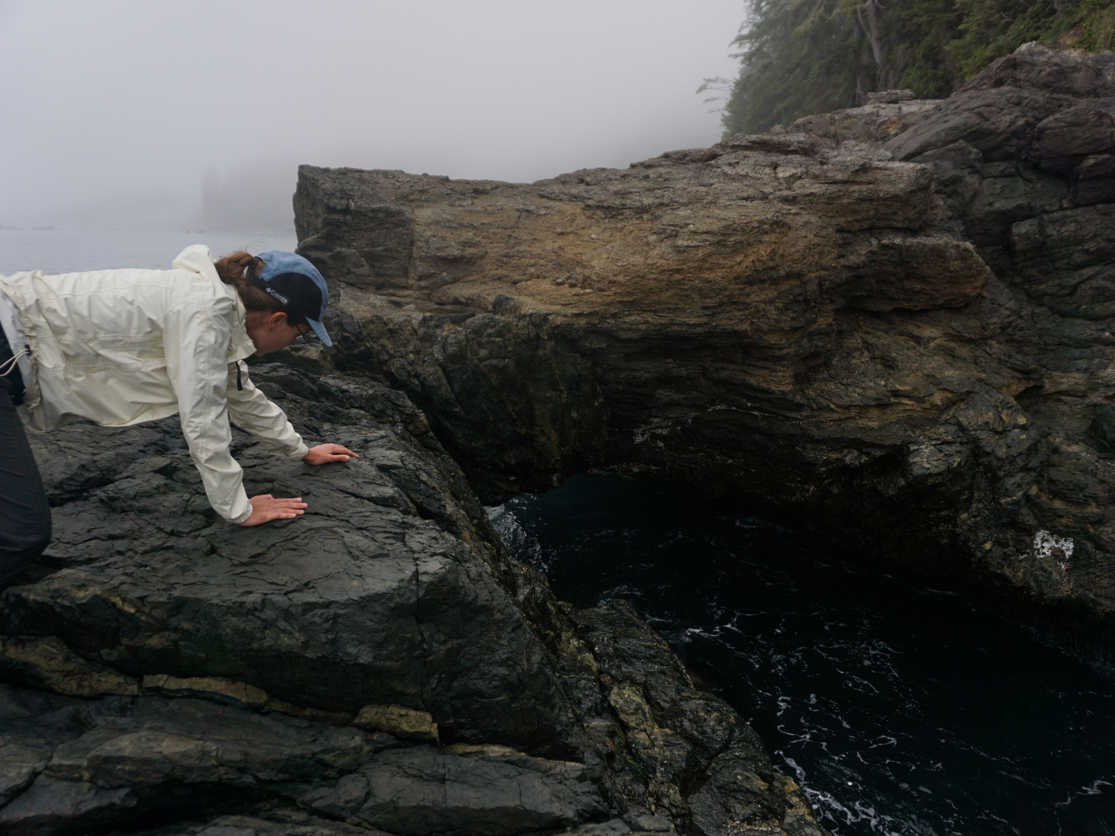
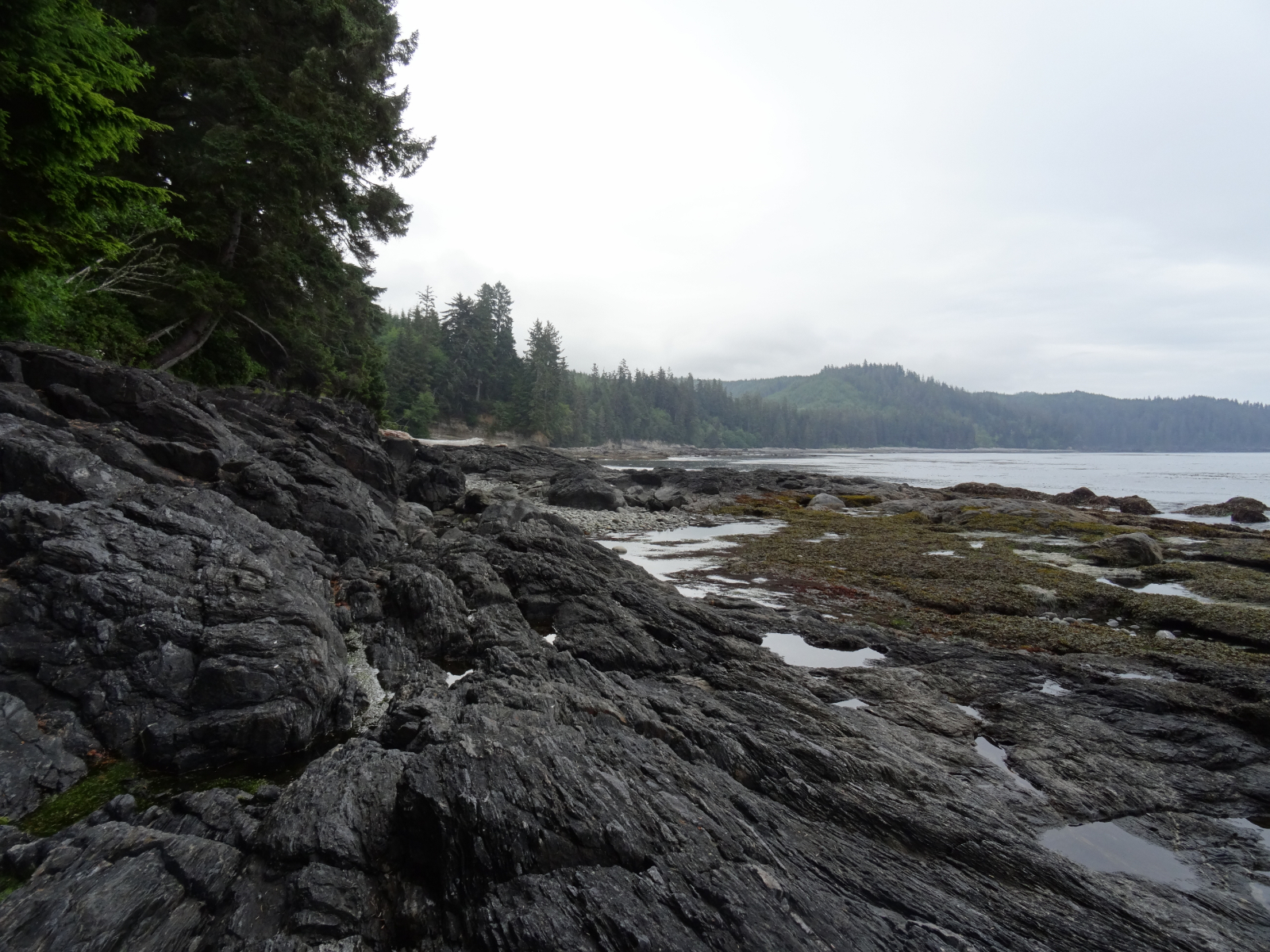
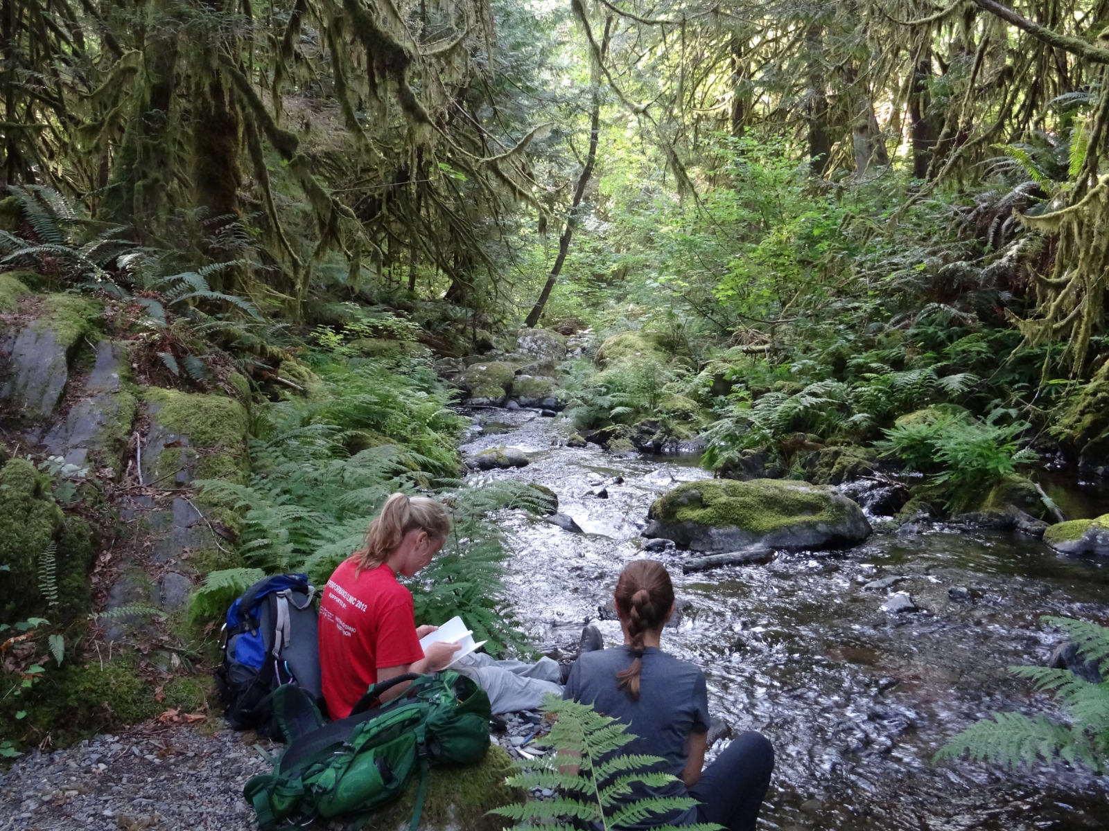
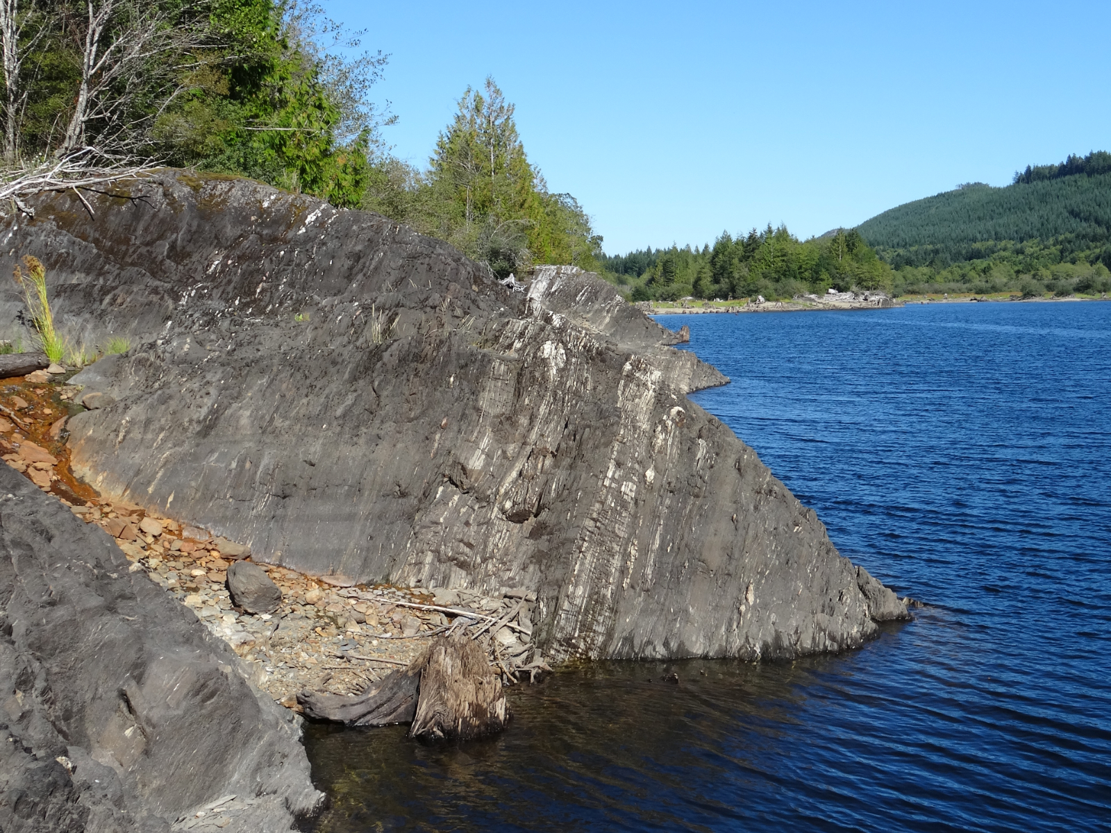
Field area for my Ph.D. research project studying the Leech River Fault, where the Metchosin Basalt was accreted against the Leech River Schist.
California and Nevada
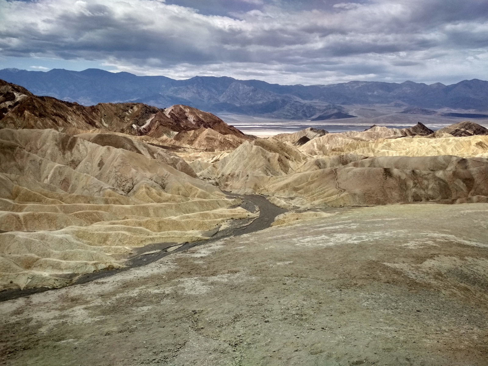
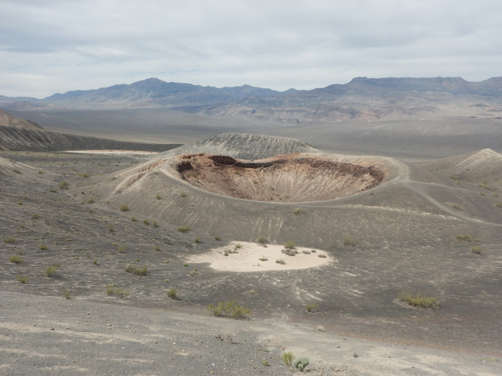
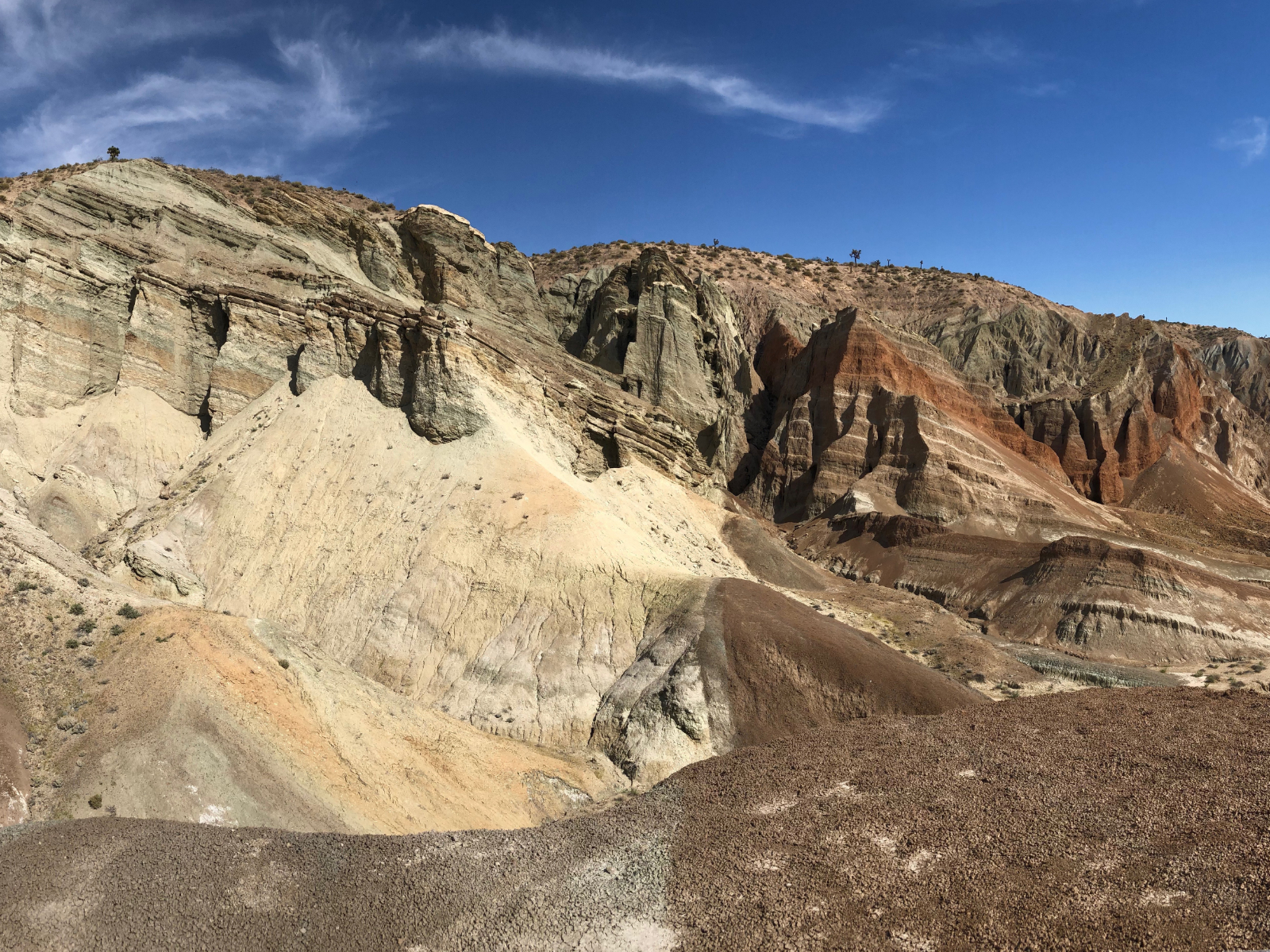
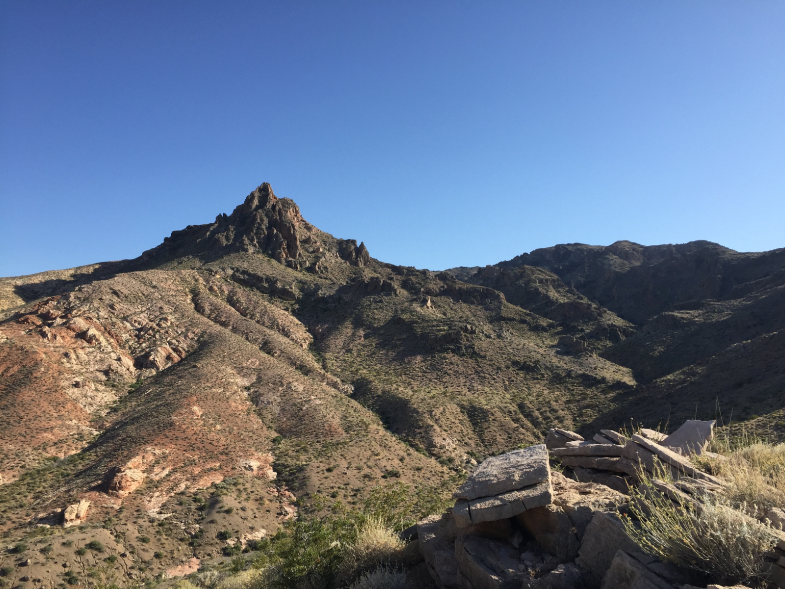
Mapping areas for Field School 1 are located across California and Nevada where extension in the Basin and Range province overprints passive margin sedimentary sequences and subsequent fold and thrust belts.
Massif Central, France
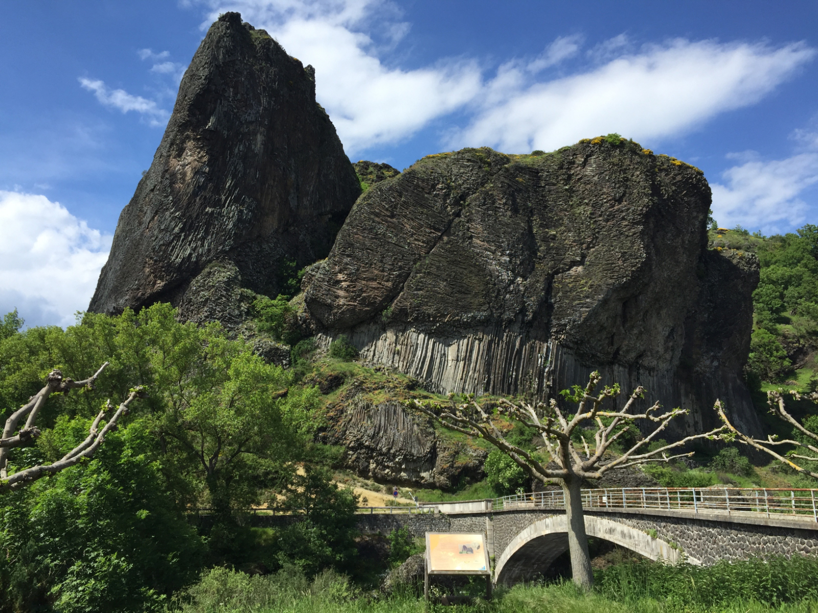
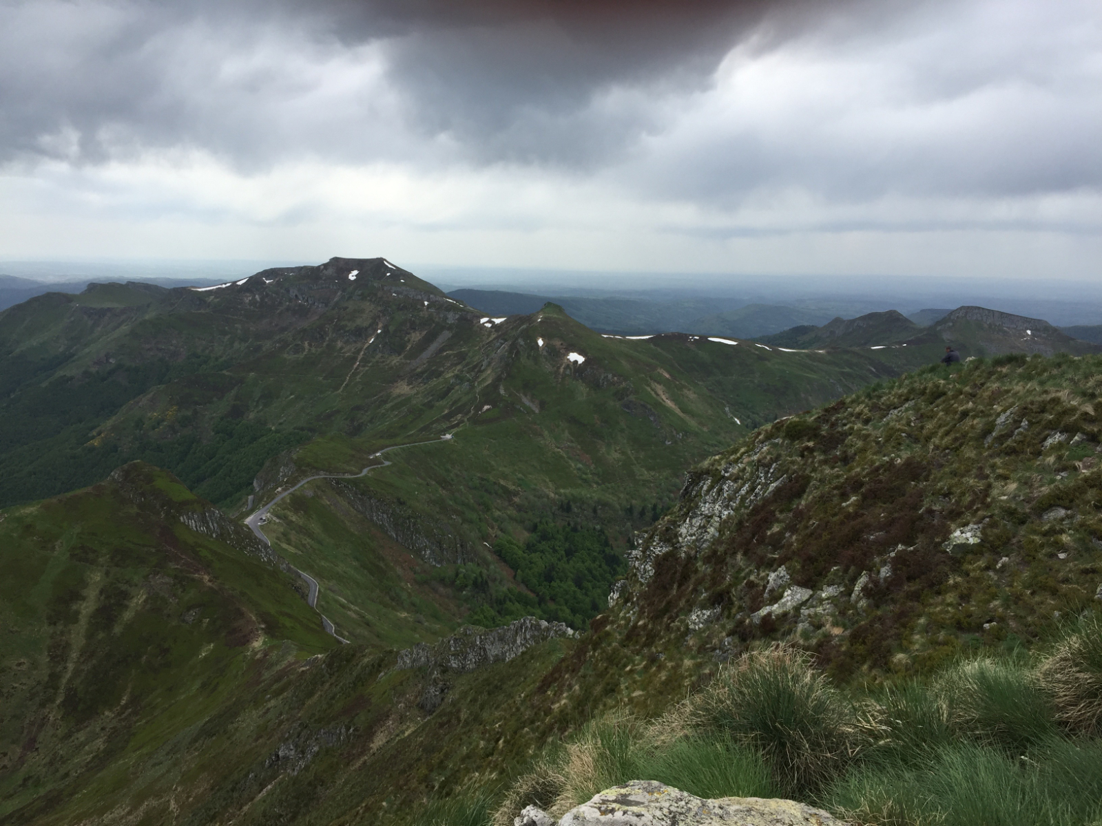
Mapping areas for Field School 2 and 3 are located in the Massif Central region of southern France where the basement is composed of granitic and metamorphic rocks of the Variscan orogeny. Recent volcanism formed the Chaîne des Puys, a chain of cider cones, lava domes, and maars.